|
Issue
19
|
Follow Us
 |
 |
 |
GISbuzz.comOur Analyst, Phil Schnetzer, recently created a cool website that consumes mapping related content from across the globe. He has rightly named the website service GISbuzz.com and tagged a slogan of “All things mapping”. Since going live on June 12 it has received thousands of hits and great feedback. The backbone of GISbuzz is a feed aggregator which continuously pulls new content from over 100 sources. The latest jobs, news, blog articles, videos and images are all available and can be read/viewed in their unaltered original state directly from within GISbuzz. If you produce GIS related content on the web that you would like to contribute to GISbuzz please visit his contact page.
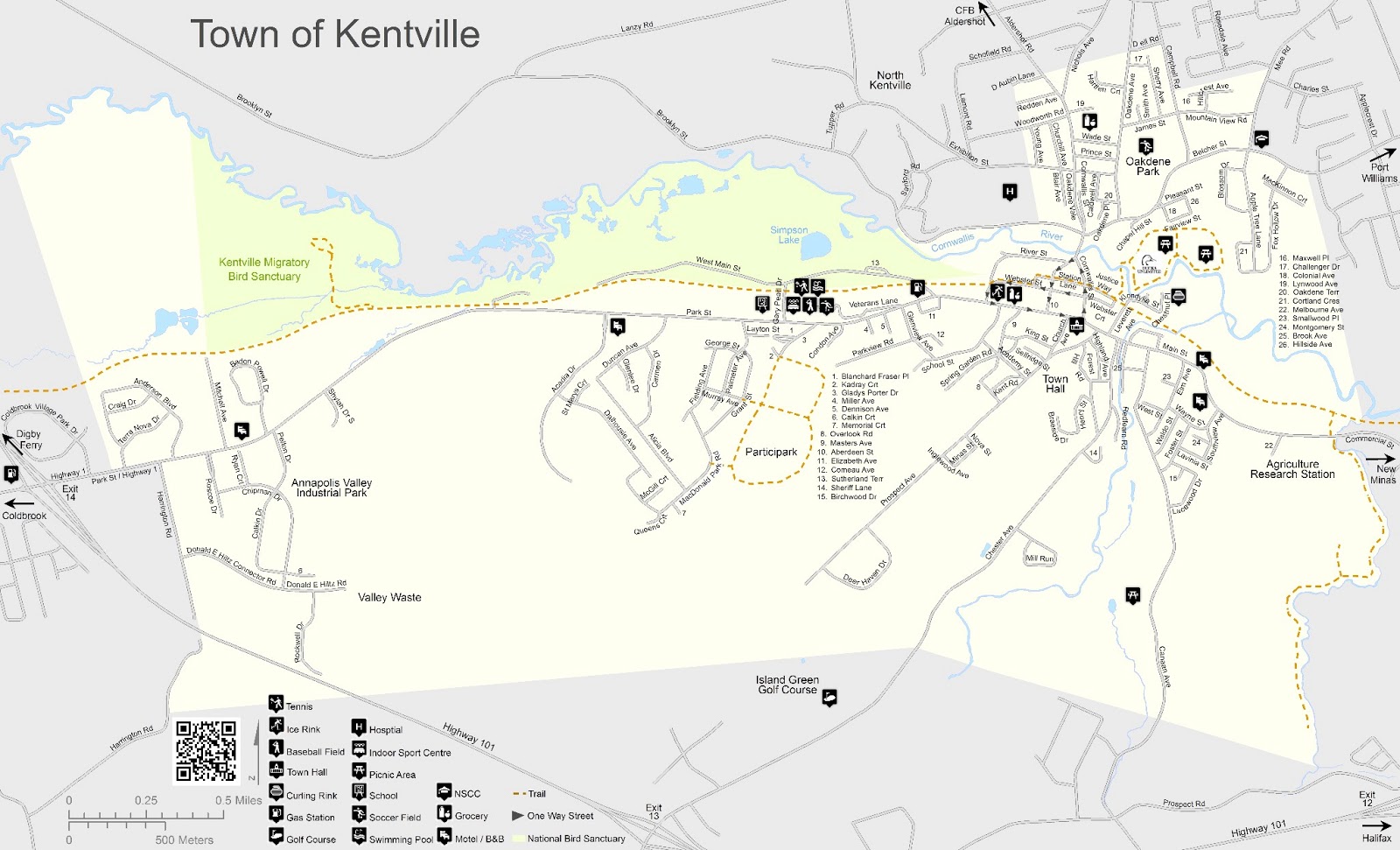
GANS ConferenceWe recently took in a Geomatics Association of Nova Scotia (GANS) event in Halifax, Nova Scotia. GANS is a Non Profit Association that works to promote the Geomatics or map technology industry in Nova Scotia. I have been involved with the association for many years. As a small firm I cannot make it to all events but this event had particular significance to me. In a nutshell it started with a discussion about the future of Geomatics through the new group called the “Canadian Geomatics Community Round Table”, and was then followed by a presentation from Michael Goodchild, Emeritus Professor of Geography, University of California, Santa Barbara, called the “Future of GIS ”. He is widely credited with coining the phrase "Volunteered Geographic Information" and is considered the world's foremost expert on the topic.
James Boxall - Canadian Geomatics Round Table
Starting off is James Boxall, Director of the Dalhousie GISciences Centre and a member of the Round Table committee. It was an introduction to most of us on what this round table group is and explains that in the early days of Geomatics in Canada we played a fundamental role in the development of what we call Geographic Information Systems. Roger Tomlinson, the Father of GIS, created the first ever GIS system called the Canada GIS. Sure he was not born in Canada, but his roots in building the Geomatics industry started at the University of McGill. The round table is trying to understand why the Geomatics industry in Canada has fallen behind the rest of the world for innovation and leadership. One interesting piece was the discussion of the term “Geomatics” and if the Father of GIS created the Canadian Geomatics industry why isn’t the term “Geomatics” as synonymous as the word “Google”. The word Google is now a verb in the English language, why not “Geomatics” for the Geospatial world we now live in? Everyone knows the word “Maps”, but the word “Geomatics” Is just the start of a foggy conversation about the technology our industry uses. Is Maps too simple of a word? Is that why none of us in the industry can say we just make “Maps”? I think it’s perceived the word “Maps” may mean that what we do is not important to society. Heck, it was certainly important in the days of exploring new worlds and all the survey and mapping work that David Thompson was so acclaimed for and was paid a good sum from the British Empire. In our profession we are explorers, surveyors, and map makers just in the digital context and more rapidly than in the past. For any Geomatics professional the elevator pitch to explain what we do would require a shaft that would reach the moon. The term Geomatics or GIS can spark a frenzy of technical jargon that literally stops time for the listener. When I am talking to someone that is not in my industry I say that “we make maps that can be delivered through the Internet to any client around the world with pretty much any kind of information that they want on the maps.” But it was more than just the term Geomatics, it was about engaging the users on a study that looks at where the industry is right now. What are some of the road blocks in restoring our credibility as a leader? What are the factors that all levels of government, private sector, and higher education need to consider in reshaping our industry to standout and innovative? These factors were discussed;
As you can imagine this discussion could have spanned days. The point obviously is for you, the reader, if you’re interested, to join the discussion. Because whether you are aware of it or not Geomatics, GIS, and map information is everywhere and is used without you even knowing it. Please visit the round table resources by clicking below and don’t forget to check out their usual social media links. Visit http://eratosthenes-project.org/.
Michael Goodchild Lecture - The Future of GIS
Ok, I always said that I would not create a newsletter more than a page but I cannot help myself. Next, Dr. Goodchild lectured on the Future of GIS. Professionally, I needed to see this presentation so I could gauge, as an owner of a GIS consulting firm, if we are moving in the right direction. We are developing GIS products and services which are cloud based systems. A lot of financial risk and sweat equity has gone into our Geomapix Gateway service. I am only going to highlight the key points for this article because it spanned 67 minutes and covered an enormous number of concepts in the GIS world. You definitely need to check out the video recording at http://spatial-information.org/goodchild-lecture/. Here are some of the highlights that I took from the lecture:
Finally, what we are seeing today is just the start of massive changes to geographic or place information becoming an integral part of our life. Geomapix Gateway is on the right track and will continue to position and align itself to current needs while always looking ahead.
Do you like this Article? Share It Below |
|
Cloud GIS
 |
|
GIS Project Management
 |
|
News, Blogs, Video
 |
|
IT Services

Annapolis Valley Computers
|
|
Web Design
 |