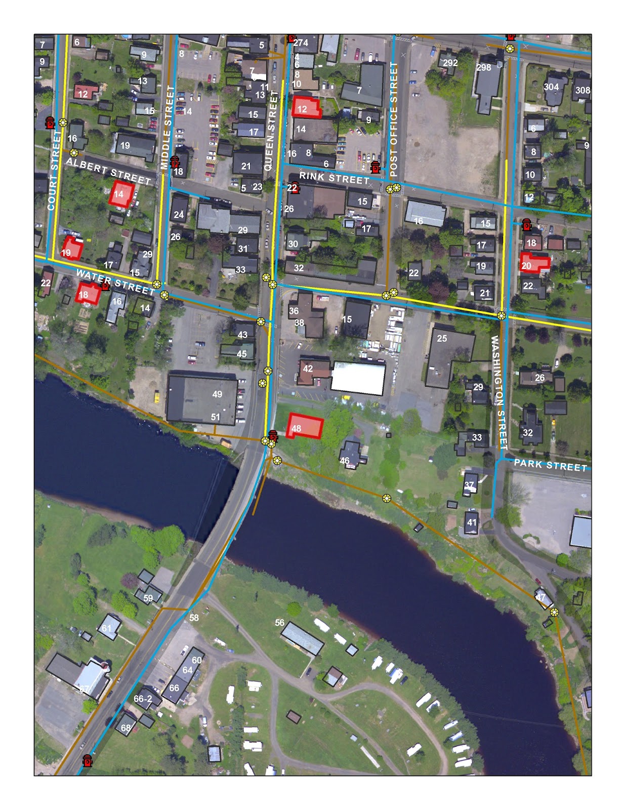
A small group of
municipalities in Southwest Nova Scotia have come together to build a
collaborative approach to GIS and Planning shared services and are building a
regional GIS from neighbouring rural municipalities. LGS Inc., using the latest
Esri ArcServer 10.1 web technology and an innovative private cloud solution we have
been able to foster municipal collaboration, an open data relationship, student
projects, and have assisted staff and the public in accessing spatial
information anywhere, anytime. We call the solution the Local Information
Utility (LIU).
The LIU is an innovative multi-service approach to combining
the latest GIS and server technology that will enable any local government to
keep pace to changing GIS and IT technologies of today.
Like a water utility or electric utility, an information
utility can provides real time, easy to access information services via the web.
These information services are delivered from a central service location where
many communities can collaborate and share in costs in managing and interacting
with common spatial data, creating common services to serve the public good,
all within a single IT scenario.
 The Local Information Utility has always been about
inspiring policymakers with the opportunities for data and analytics to
transform public service for rural municipalities. The technology is present
and affordable to implement a GIS system that is smart, flexible, scalable, and
mobile. The LIU technology is reducing duplication of effort, paperwork,
connecting departments, speeding up data retrieval, allowing for future
trending, and revealing easy access GIS for front-line staff that provide
information services to their citizens. The LIU is reducing data quality issues
and allows an entire authority to manage their GIS, without being a GIS professional.
The Local Information Utility has always been about
inspiring policymakers with the opportunities for data and analytics to
transform public service for rural municipalities. The technology is present
and affordable to implement a GIS system that is smart, flexible, scalable, and
mobile. The LIU technology is reducing duplication of effort, paperwork,
connecting departments, speeding up data retrieval, allowing for future
trending, and revealing easy access GIS for front-line staff that provide
information services to their citizens. The LIU is reducing data quality issues
and allows an entire authority to manage their GIS, without being a GIS professional.

For our clients that have a GIS professional on staff, the
LIU alleviates the pressures of delivering information in traditional formats
like hard copy maps and excel reports. The GIS core can move forward with
management and enhancing their GIS to deliver efficiency to the authority.
As the founder and CEO of Landmark Geographic
Solutions Inc., Trevor Robar has transformed the company from a one person GIS
data QC firm to a leading edge GIS enterprise and application design firm.
Trevor has over 15 years of experience working with all levels of government,
private industry, not for profit, and academia. A Visionary and goal-oriented
senior executive with demonstrated experience in planning, developing, and
implementing cutting edge spatial information solutions to address.


 Check Out the cafe on Facebook by searching "Paper Pleasures at the Coffee Shop". It's got some great coffee, treats, lunch, speciality papers , and some really cool local art work.